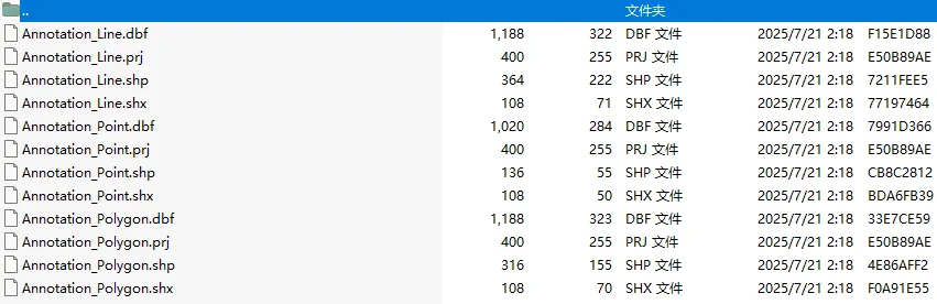
6.4 Annotation Results Export
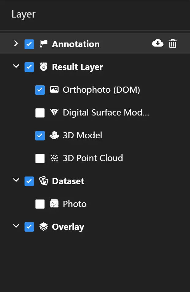
Move the mouse over "Annotation" in the results menu panel on the left, and the operation menu for annotations will be displayed on the right.
Click the ![]() button, and the export annotation dialog box will pop up.
button, and the export annotation dialog box will pop up.

Select the data format, coordinate system, and export location for the annotations to export the annotation layer in the selected format for use on other platforms. The data format currently supports four formats: Shapefile, DXF, GeoJSON, and KML. The coordinate system is consistent with the output result coordinate system by default, and users can select the coordinate system as needed.